Esri India Makes Drone Mapping Easy
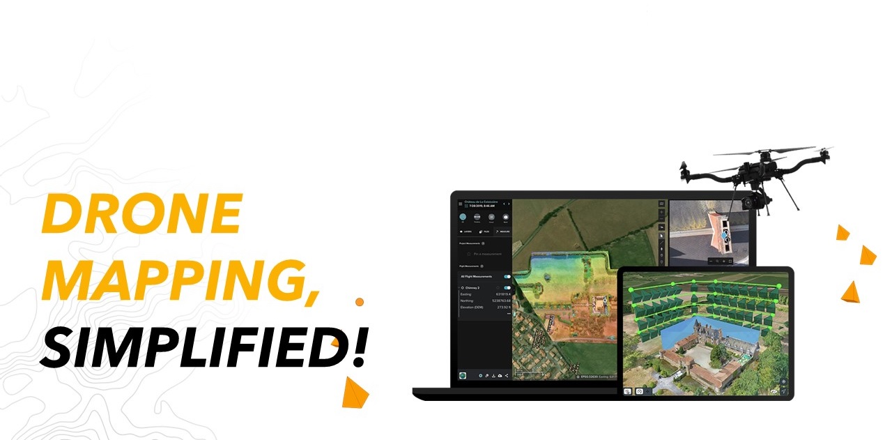

 Agendra Kumar, Managing Director, Esri India, said “With the new Drone Rules 2021, Geospatial data creation through drones is set to get a boost in the country. There is a need for a solution that simplifies drone flying, data capture, processing, and consumption. Site Scan for ArcGIS hosted on a government approved cloud in India meets these requirements and provides much needed manageability, reliability, scalability, and cost efficiency for drone data processing. Site Scan will also be a great enabler for our partner community and numerous Drone service providers.”With Site Scan for ArcGIS, organizations involved in construction, engineering, utilities, natural resources, and government agencies will be able to easily capture high-resolution imagery for the areas of interest to examine, visualize, analyze, and make decisions based on the latest information. The acquired 2D & 3D information can be further disseminated as secure services and conveniently consumed anywhere, anytime on any device. A secure, highly available, and scalable cloud platform ensures that drone data processing is not limited by hardware.